

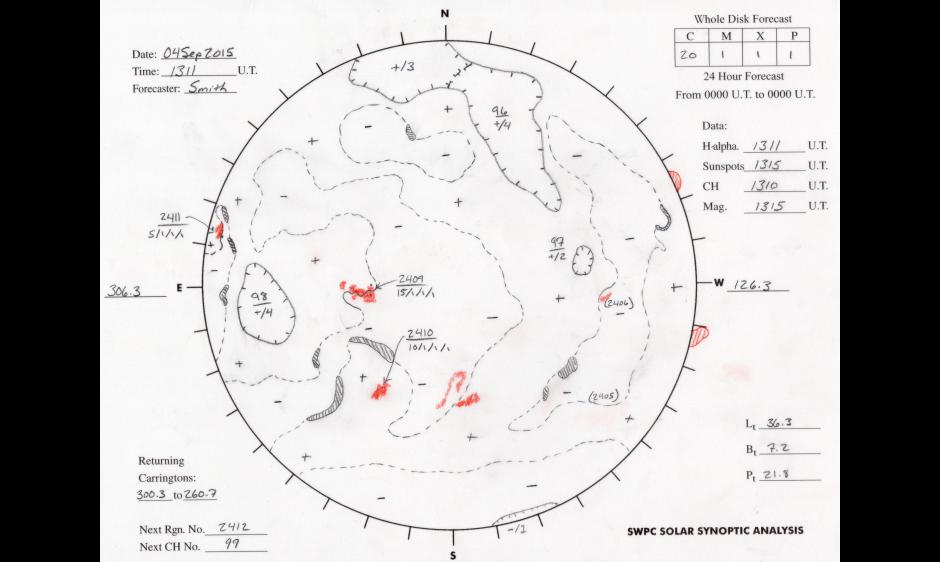
43 Years of Solar Synoptic Maps featured in video on Slate.com
Slate.com posted a video showcasing each hand-drawn Solar Synoptic Analysis completed by NOAA Space Weather Forecasters during the past 43 years. The video compiles approximately 15,000 images and animates sunspots, coronal holes and other notable features from June, 1972 through June, 2015. Watch the video here!