

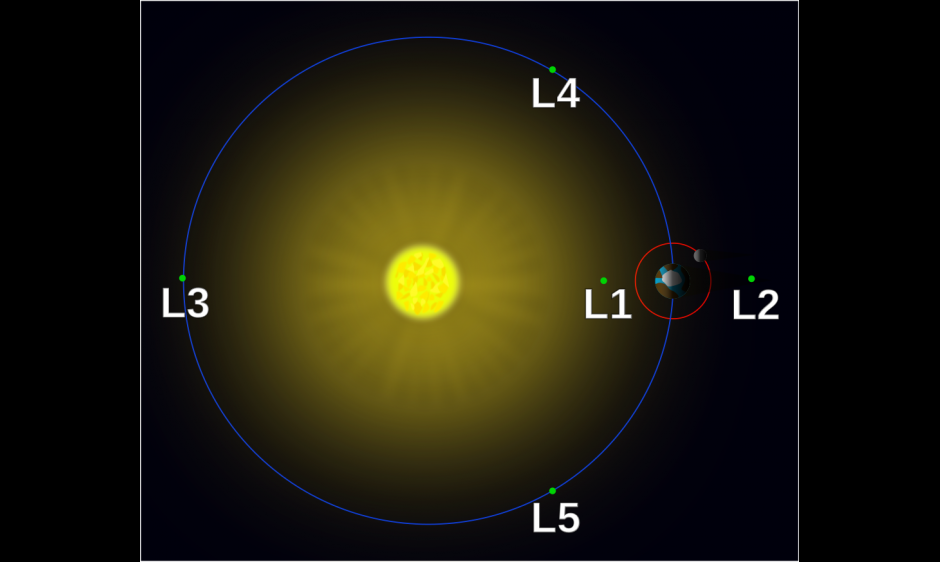
On 07 June 2015 DSCOVR made it to its final destination when it entered orbit around the 1st Lagrange point (L1), some 1.5 million kilometers sunward of the Earth. The insertion into orbit around the L1 point was accomplished through a series of thruster burns that were performed flawlessly. The advantage of this orbit is that storms from the sun that will hit Earth will encounter DSCOVR first. This provides SWPC forecasters with 30-60 minutes of valuable lead time to issue warnings to customers.
The DSCOVR team is now working to complete the instrument checkout and performing its final calibrations. These activities will take approximately 30 days to complete.
For more about DSCOVR visit the NOAA/NESDIS DSCOVR pages.
Image credit:
"Lagrange points simple" by Xander89 - https://en.wikipedia.org/wiki/File:Lagrange_points2.svg. Licensed under CC BY 3.0 via Wikimedia Commons - http://commons.wikimedia.org/wiki/File:Lagrange_points_simple.svg#/media...