

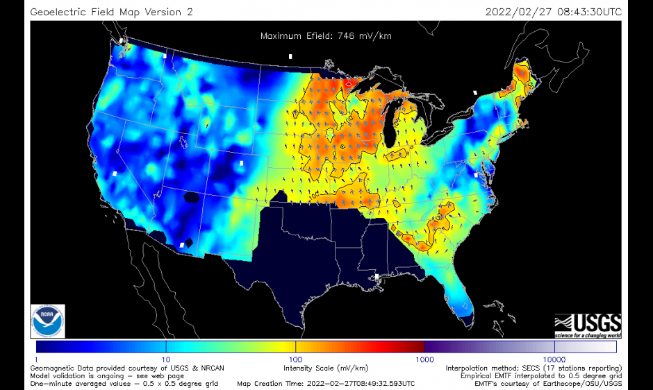
The Space Weather Prediction Center is pleased to announce the operational release of updated geoelectric field maps on March 23 at 1700UT. These maps will incorporate additional, new, magnetotelluric (MT) survey information into SWPC’s 3D empirical geoelectric field model. The 3D empirical model uses a description of Earth conductivity based on magnetotelluric transfer functions (EMTF’s). The EMTF’s are a data product from magnetotelluric surveys and provide a way to represent the effects of 3D Earth conductivity on the surface geoelectric field. This in turn drives induced currents in artificial conductors on the ground, such as the electric power grid. The updated maps will provide additional coverage for the southwestern part of CONUS and incorporate updated information and corrections as published by the IRIS consortium on the IRIS/EMTF webpage. Please see https://www.swpc.noaa.gov/products/geoelectric-field-1-minute-empirical-emtf-3d-model for the latest maps and additional information. SWPC gratefully acknowledges the contributions of the EMTF data products by the Incorporated Research Institutions for Seismology (IRIS) community, especially the National Science Foundation (NSF) Earthscope program, the MT survey team at Oregon State University, and the U.S. Geological Survey.