NOAA Logo

NWS Logo

Organizations

Space Weather Prediction Center

National Oceanic and Atmospheric Administration

Thursday, April 18, 2024 08:28:13

Main menu

NOAA Scales mini

minimize icon
Space Weather Conditions
24-Hour Observed Maximums
R
no data
S
no data
G
no data
Latest Observed
R
no data
S
no data
G
no data
R1-R2 --
R3-R5 --
S1 or greater --
G
no data
R1-R2 --
R3-R5 --
S1 or greater --
G
no data
R1-R2 --
R3-R5 --
S1 or greater --
G
no data
maximize icon
R
no data
S
no data
G
no data
Current Space Weather Conditions
R1 (Minor) Radio Blackout Impacts
close
HF Radio: Weak or minor degradation of HF radio communication on sunlit side, occasional loss of radio contact.
Navigation: Low-frequency navigation signals degraded for brief intervals.
More about the NOAA Space Weather Scales

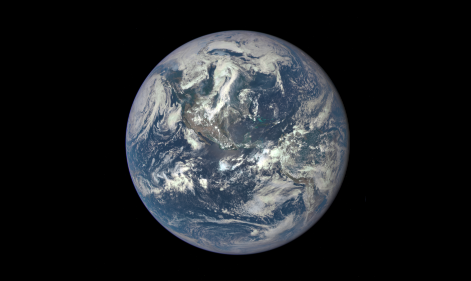
21st Century Blue Marble

21st Century Blue Marble
published: Wednesday, August 05, 2015 19:14 UTC

The NASA EPIC instrument on the NOAA/DSCOVR satellite snapped this picture of the day-lit side of the Earth, the ‘Blue Marble,’ on July 6, 2015.   Central America is clearly seen along with parts of North and South America.  Beginning in September, NASA expects to make such images available on a daily basis.  The original Blue Marble photograph was taken by astronauts on Apollo 17 on December 7, 1972.

Click here for more on the NASA DSCOVR EPIC image.

Click here for more on the NOAA DSCOVR satellite.