

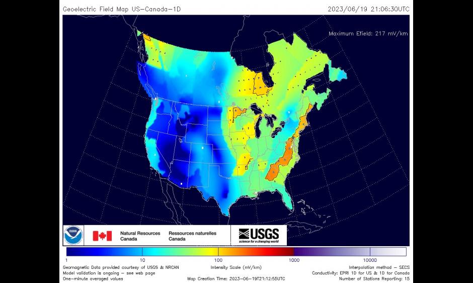
The Space Weather Prediction Center is pleased to announce the operational release of the joint US-Canada 1D geoelectric field map product. The development of this product is a joint effort between NOAA/SWPC and NRCan/CHIS Space Weather, in collaboration with the USGS geomagnetism group. The new maps expand the coverage of geoelectric calculations into Canada, up to 60 degrees latitude, at an increased resolution of 0.5 degrees in latitude and longitude. The product incorporates updated 1D conductivity models over CONUS and new 1D conductivity models over Canada. The geoelectric field is a direct indicator of the impact of space weather on the electrical power grid and other ground-level artificial conducting pathways. Please see the National Weather Service press release and the Service Change Notice for details. Additional information is available on the product web page, Geoelectric Field Models (US Canada 1D & 3D EMTF CONUS), which consolidates both this new product and the 3D EMTF CONUS product. Note that this new product replaces the prior version of the 1D model (Geoelectric Field 1- minute) that only covered the continental US.. It also includes the 3D Empirical US model at Geoelectric Field 1-Minute (Empirical EMTF - 3D Model), so there is now one stop for Geoelectric models. Those old product pages along with a prior comparison page, Geoelectric 3D-1D Comparison, will be discontinued.